|
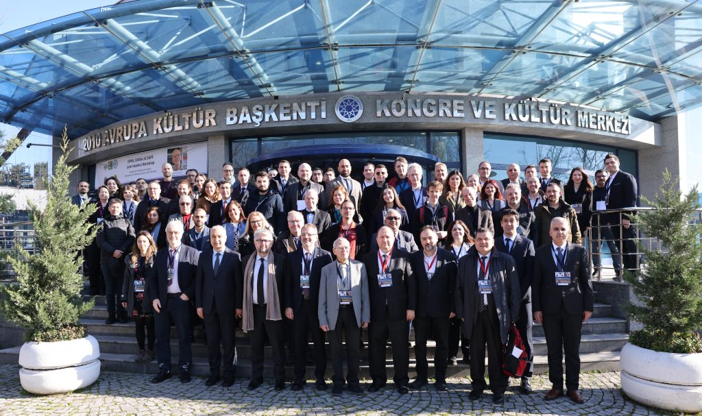
Özgün Akçay – Çanakkale 18 Mart University
Hakan Akçın – Zonguldak Bülent Ecevit University
Mehmet Alkan – Yıldız Technical University
Abdalla Alobeid – Vision Intelligence
Can Atalay – Zonguldak Bülent Ecevit University
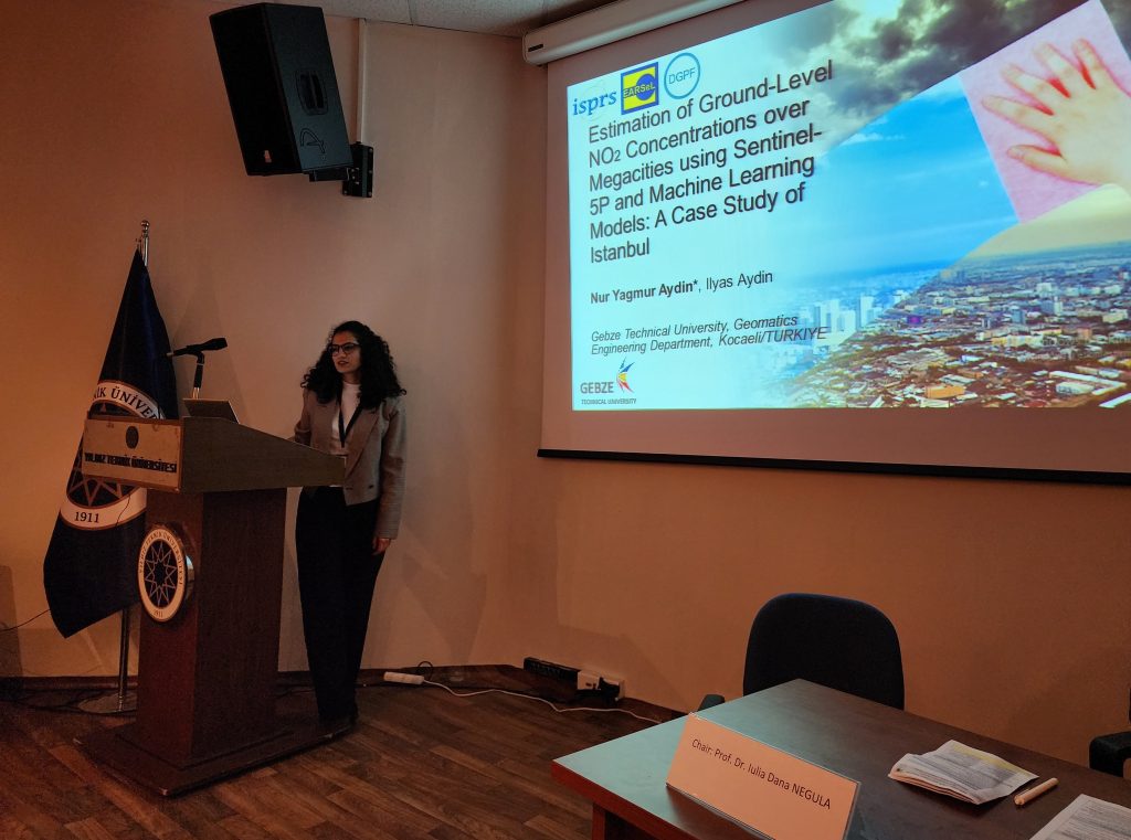
Nur Yağmur Aydın – Gebze Technical University
Süha Berberoğlu – Çukurova University
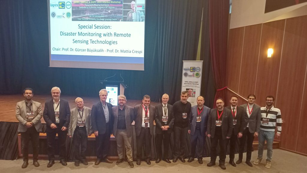
Gürcan Büyüksalih – Istanbul University
Mattia Crespi – Sapienza University of Rome
Zehra Çetin – Yıldız Technical University
İsmail Çölkesen – Gebze Technical University
Nusret Demir – Akdeniz University
Gholam Reza Dini – University of Tronto
Cem Gazioğlu – Istanbul University
Markus Gerke – Technical University of Braunschweig
José Alberto Gonçalves – University of Porto
Mahmut Görken – Yozgat Bozok University
Christian Heipke – Leibniz University of Hannover
Eija Honkavaara – Finnish Geospatial Research Institute
Dorota Iwaszczuk – Technical University of Darmstadt
Karsten Jacobsen – Leibniz University of Hannover
Boris Jutzi – Karlsruhe Institute of Technology
|
Hakan Karabörk – Konya Technical University Fevzi Karslı – Karadeniz Technical University
Taşkın Kavzoğlu – Gebze Technical University
Thomas Kersten – Hafencity University Hamburg
Mila Koeva – University of Twente
Thomas Krauss – German Aerospace Center
Iulia Dana Negula – Romanian Space Agency
Roland Perko – Joanneum Research
Alias Abdul Rahman – University of Technology Malaysia
Peter Reinartz – German Aerospace Center
Franz Rottensteiner – Leibniz University of Hannover
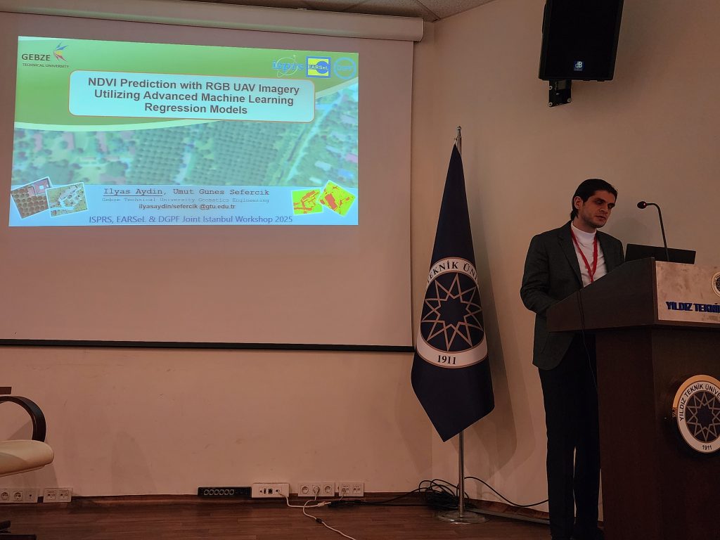
Umut Güneş Sefercik – Gebze Technical University
Uwe Soergel – University of Stuttgart
Ali İhsan Şekertekin – Igdır University
Jiaojiao Tian – German Aerospace Center
Hüseyin Topan – Zonguldak Bülent Ecevit University
Melis Uzar – Yıldız Technical University
Mustafa Üstüner – Artvin Çoruh University
Stewart Walker – Photogrammetry4u
Jan Dirk Wegner – University of Zurich
Naci Yastıklı – Yıldız Technical University
Mohammad Javad Valadan Zoej – K. N. Toosi Uni. of Technology
|


